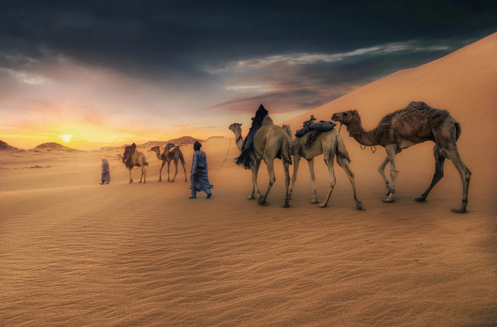
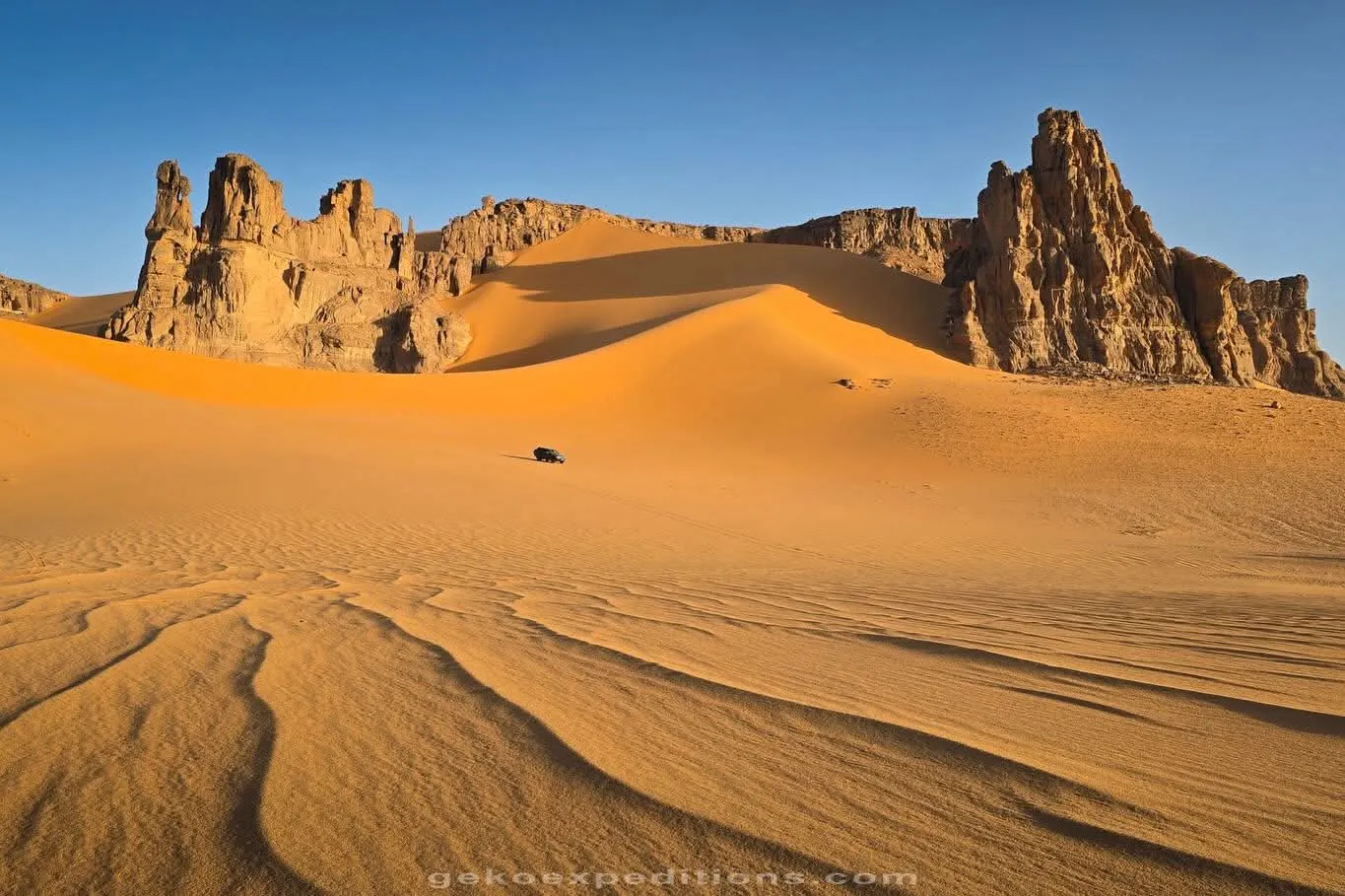
The Sahara covers more than four-fifths of Algeria and holds some of its most extraordinary landscapes: the Tassili n'Ajjer and its rock art, the red Tadrart, the Hoggar mountains, the great sand seas and their oasis towns. This guide explains the regions, the best excursions, how desert trips work, how to prepare and when to go.
Overview
Algeria holds the largest share of the Sahara of any country. Yet "desert" covers very different worlds: sandstone plateaus cut into labyrinths, sand seas hundreds of kilometres wide, black volcanic mountains, salt flats and palm oases with mud-brick villages. People have lived here for millennia — the Tuareg in the south-east, the Mozabites in the M'zab, the Zenata communities of the Gourara — and their knowledge of wells, routes and seasons is what makes travel possible.
Most visitors focus on three areas: the far south-east around Djanet (Tassili n'Ajjer and Tadrart Rouge), the Hoggar around Tamanrasset, and the northern Sahara of oases and great ergs (Taghit, Timimoun, Ghardaïa).
Desert landscapes
- Tassili (sandstone plateaus): eroded into towers, arches and "rock forests" — Sefar, Jabbaren, Tin Tazarift.
- Ergs (sand seas): the Grand Erg Occidental behind Taghit and Timimoun, the Grand Erg Oriental to the east, Erg Admer near Djanet and the red dunes of the Tadrart.
- Volcanic mountains: the Atakor in the Hoggar, with basalt organ pipes and Algeria's highest peaks.
- Regs and hamadas: vast gravel and stone plains crossed between massifs.
- Gueltas and oases: permanent rock pools such as those of Essendilène and the palm groves fed by underground channels (foggaras) in the Gourara.
Djanet
Djanet is the gateway to the Tassili n'Ajjer and the Tadrart Rouge, and the home base of SEFAR Aventure since 1980. The oasis town lies in a valley of palms below the plateau, with an old ksar on the hill and a weekly rhythm of markets and tea. It has an airport with domestic flights from Algiers (schedules vary by season). Every year during Ashura the town celebrates the Sebeiba, a Tuareg ritual of drums and dance listed by UNESCO. Read the Djanet destination guide.
Tassili n'Ajjer
The Tassili n'Ajjer National Park, a UNESCO World Heritage Site since 1982, is a sandstone plateau of more than 70,000 km² rising above Djanet. Its corridors and shelters hold one of the richest collections of prehistoric rock art in the world: wild animals from a green Sahara, cattle herders, the "round head" figures, chariots and camels. Access to the high plateau is on foot via ancient trails, with donkeys carrying the camp; other sectors are reached by 4x4.
- Sefar: the "rock city" that gave our agency its name, with its famous painted panels.
- Tin Tazarift and Jabbaren: rock formations and shelters full of paintings.
- Essendilène: a canyon with a permanent pool and lush vegetation.
See the Tassili n'Ajjer guide and our circuit Tassili n'Ajjer: the painted plateau of Sefar.
Excursions and itineraries
- Tadrart Rouge (4–5 days from Djanet): red dunes, natural arches and engraved canyons near the Libyan border — see our circuit.
- Erg Admer (half or full day from Djanet): golden dunes ideal for a sunrise or a first night in a bivouac.
- Hoggar and Assekrem (5–6 days from Tamanrasset): volcanic landscapes, Charles de Foucauld's hermitage and a famous sunrise — see our circuit.
- Taghit and the Grand Erg Occidental (4 days via Béchar): the most accessible great dunes — see our circuit.
- Timimoun and the Gourara: red ksour, salt flats and foggaras — available as a tailor-made trip; see the Timimoun guide.
- Ghardaïa and the M'zab Valley (3–4 days): the cultural gateway to the Sahara — see our circuit.
How desert trips work
A typical trip combines 4x4 transport over long distances with walks of two to five hours a day. A team of guide, driver(s) and cook travels with you; on treks, donkeys or camels carry the luggage. Nights are spent in simple camps — tents or under the stars on mattresses — with meals cooked fresh over the fire. There is no mobile signal in most areas; our teams carry satellite communication.
In the Saharan south, tourist travel is organised through licensed Algerian agencies with authorisations and an accompanying guide. Independent travel in remote desert areas is not possible in practice, and several governments specifically advise against unaccompanied travel there.
How to prepare
- Documents: a passport valid at least six months and a visa. For trips mainly in the south, a visa on arrival may be possible at some airports with a confirmed booking through an approved agency — see practical information.
- Travel advice: check your government's advice before booking. As of 19 October 2026, the UK, US and French governments advise against travel to some border areas and parts of the far south, which can affect travel insurance. Read the summary in our safety section.
- Fitness: most circuits need only regular walking; plateau treks involve a steep climb on the first day.
- Kit: sleeping bag rated to 0 °C in winter, broken-in shoes, a headscarf (chèche), sun protection, a headlamp and warm layers — see our desert packing list.
- Health: bring personal medication and a small first-aid kit; distances to hospitals are long. Comprehensive insurance with medical evacuation is mandatory on our trips.
- Respect: take all rubbish back, never touch the rock art, and ask before photographing people.
Seasons
| Period | Days | Nights | Our advice |
|---|---|---|---|
| October – November | Warm (25–32 °C) | Mild | Excellent; clear light, ideal for treks. |
| December – February | Pleasant (18–25 °C) | Cold, can drop below 0 °C on plateaus and in the Hoggar | Very good with a warm sleeping bag; peak season around the year-end holidays. |
| March – April | Warm (25–33 °C) | Mild | Very good; occasional wind and sand. |
| May – September | Very hot (often 40 °C and above) | Hot | Not recommended for desert trips. |
Temperatures are indicative and vary with altitude and from year to year.
Last reviewed: 20 October 2026